

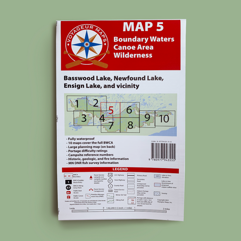

Voyageur Map 5 covers a stretch of the Boundary Waters Canoe Area Wilderness (BWCAW) south of Quetico Provincial Park along the U.S. - Canadian border, including most of Basswood Lake.
Link to Map Coverage
One of the few remaining truck portages in the Boundary Waters continues to operate on the Canadian Border at Prairie Portage. During peak boating season, generally starting around the U.S. fishing opener in May, a Forest Service contractor uses four-wheel drive trucks and a trailer to pull boats over the portage on the U.S. side of the border. Typically canoeists take the much shorter portage trail along the Canadian side of the border, which is not motorized.
Caution should be exercised when crossing the largest lakes of Map 5 in a canoe. The big open stretches of Basswood Lake can develop large waves that are difficult or hazardous to navigate in a canoe. Early morning is often the best time to cross these big areas.
- Dimensions: 38 3/4" x 28 3/4"
- Delivered Folded 6"x 10" (not available unfolded)
- Weight: 2 oz
- Waterproof Paper
- Updated in 2021